
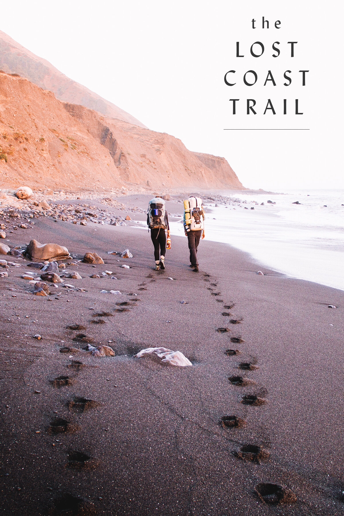
Hiking the Lost Coast Trail in the Fall | California
Bidding adieu to summer and bonjour to fall, I set out with two friends, Fran and Emily, to hike the Lost Coast Trail, a 24.6 mile hike named for its inaccessibility from roads or civilization.
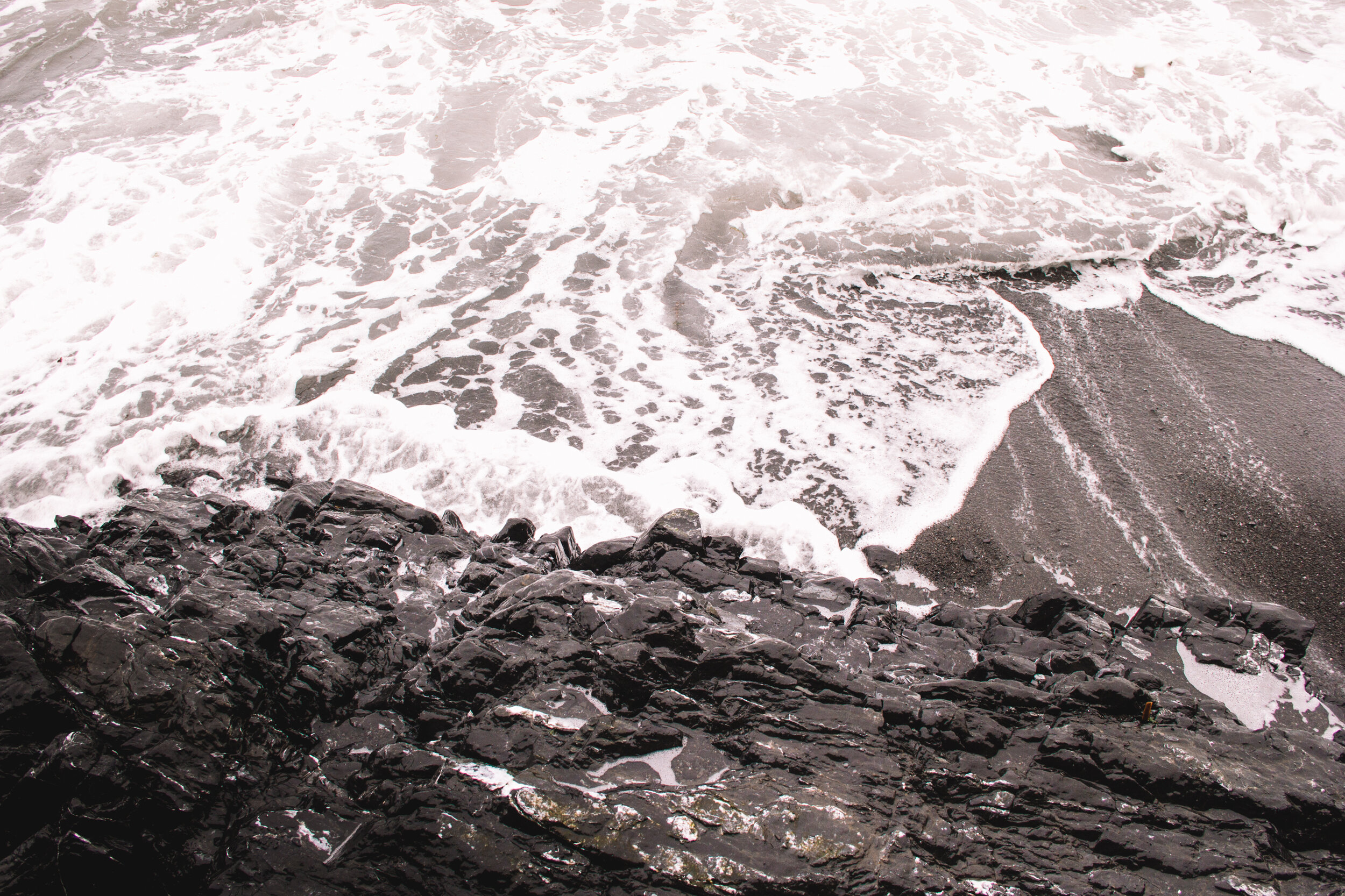
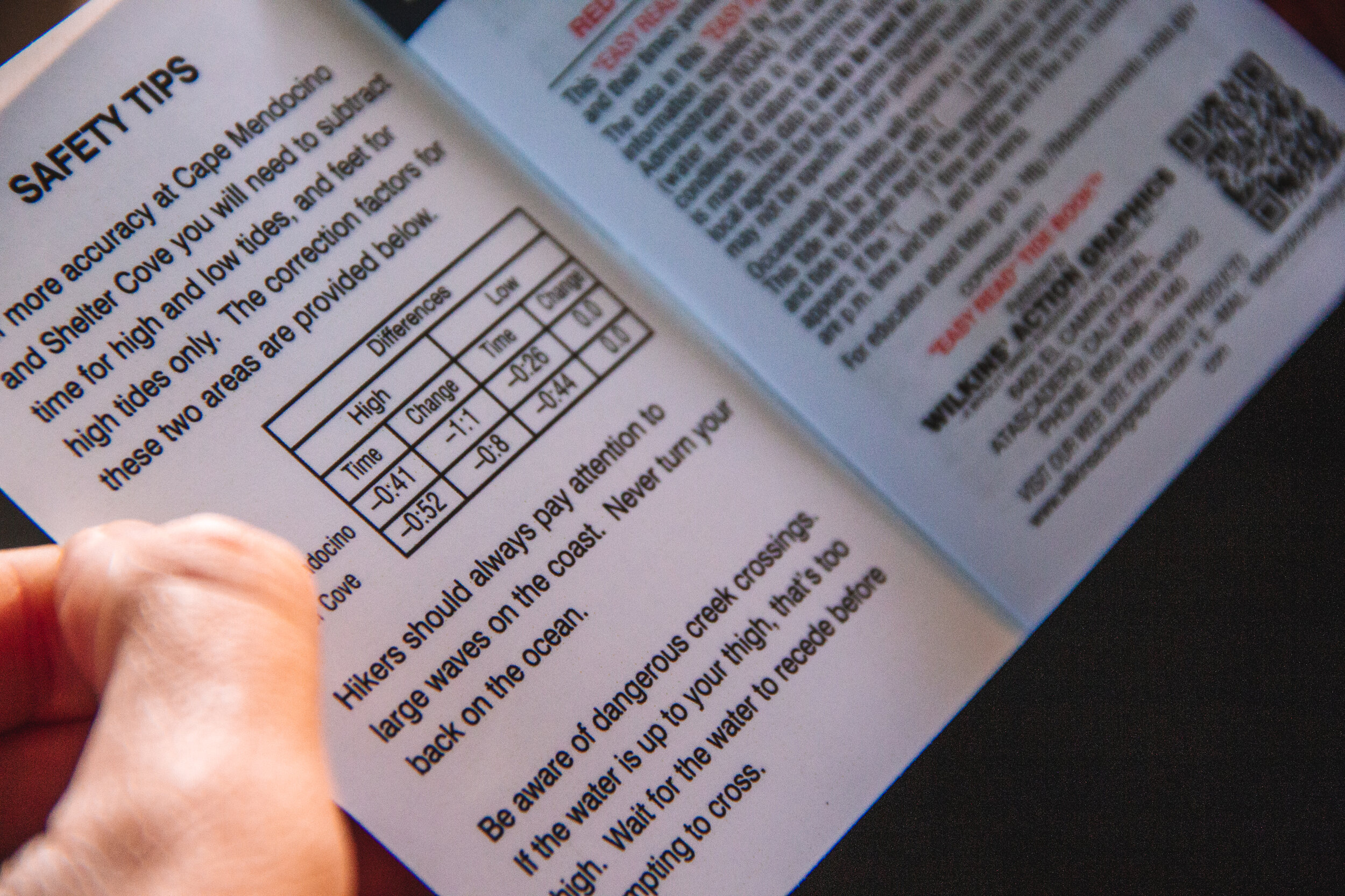
Portions of the hike disappear with the tides, so planning each days’ hike in advance is paramount to ensure hiker’s safety. As our brochure warned, “never turn your back on the ocean”.
Day 1: Mattole Campground to Spanish Creek | ~9 mi.
Starting in the small town of Shelter Cove, we took a two hour van ride north with Lost Coast Adventure Tours to get dropped off at Mattole trailhead to begin our trek. On the way up, our driver lamented at the legalization of marijuana (because bigger agricultural operations were weeding out the mom and pop growers) and gave us a run down of the trail and what to look for with the tides. On windy coastal roads, we studied the current season’s tide tables on the brochure the tour company provided while lazily eavesdropping to the back stories of our fellow hikers.
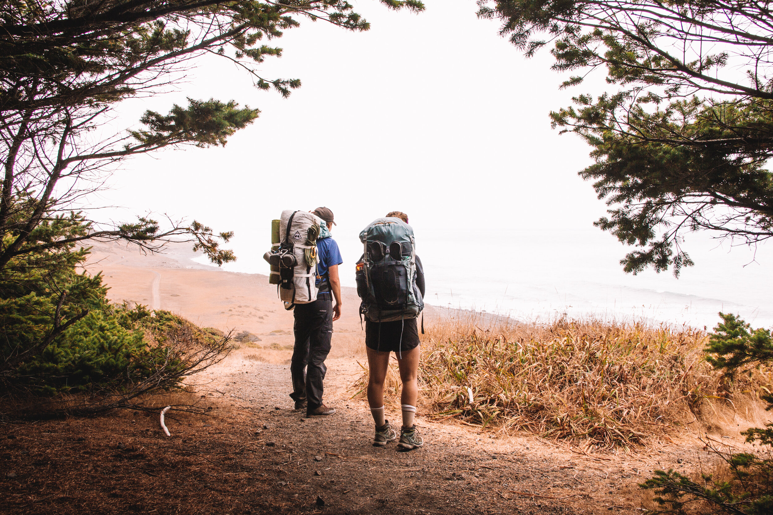
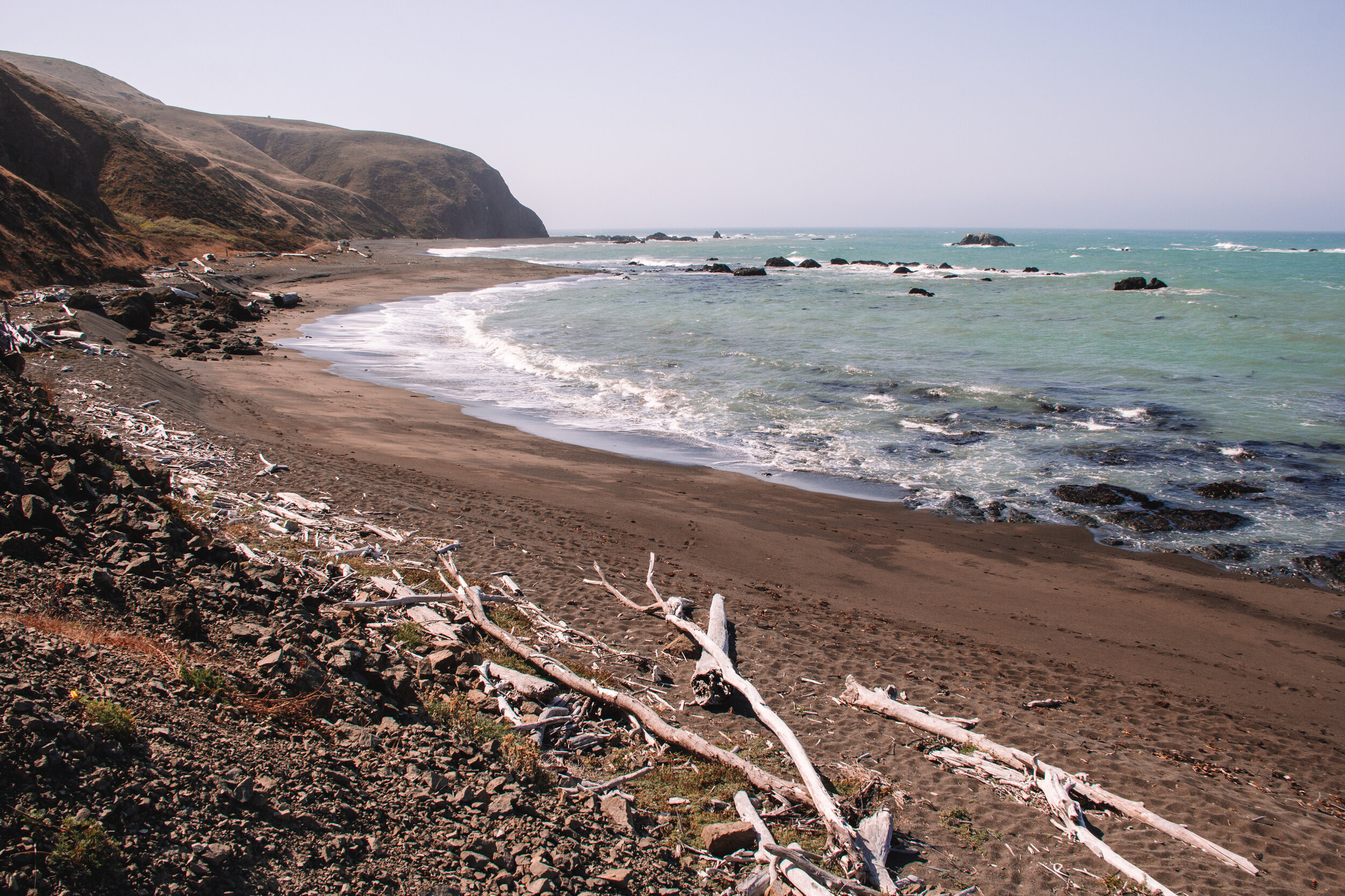
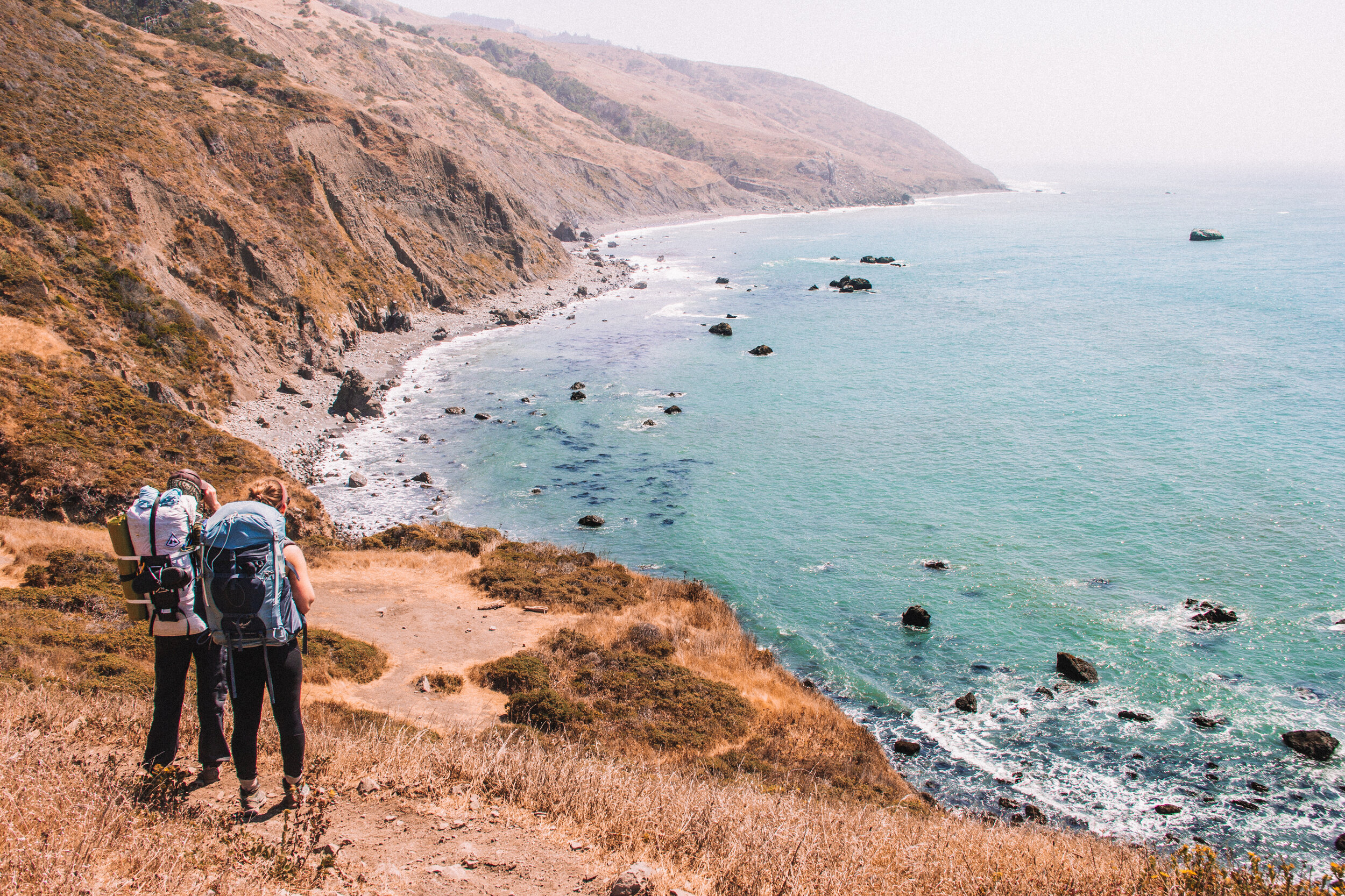
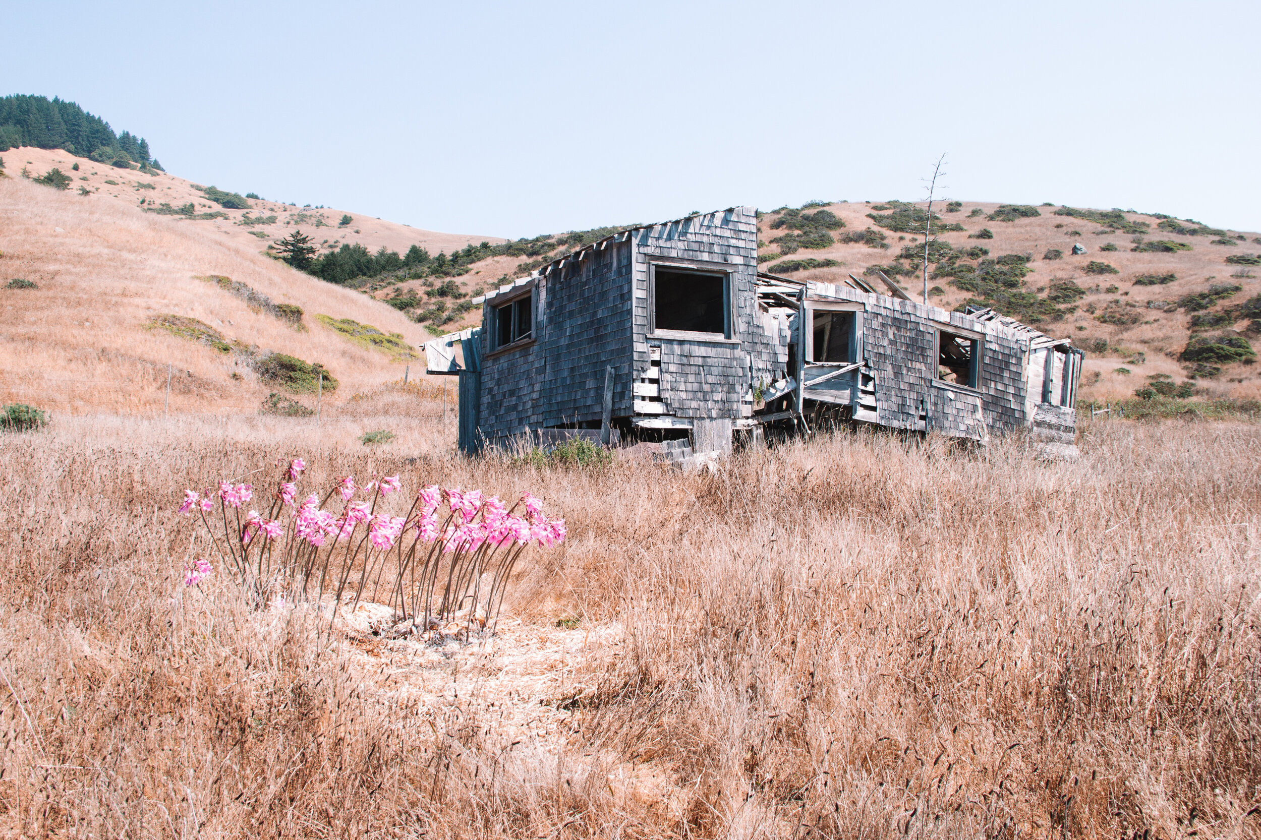
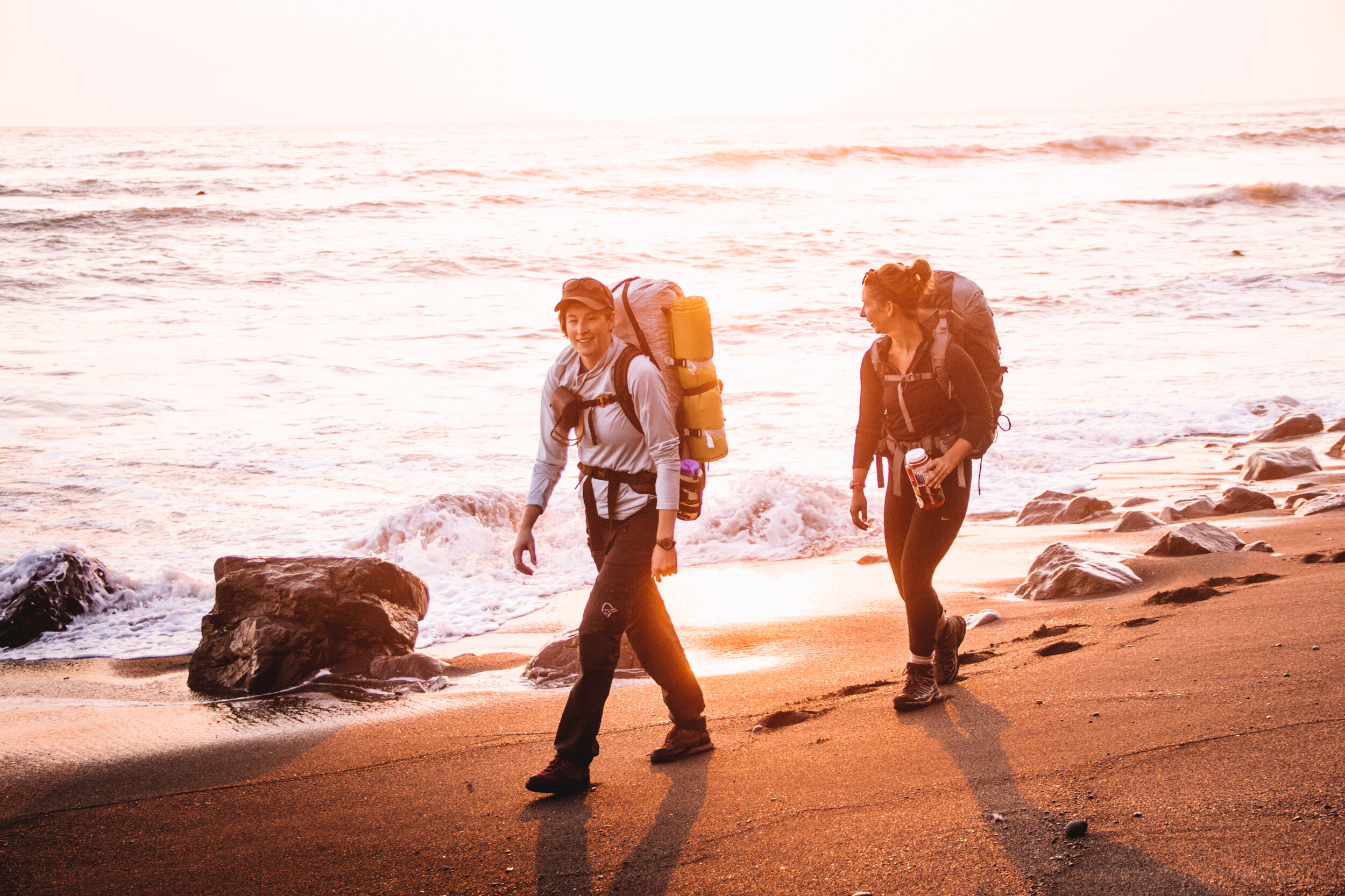
Slightly car sick upon arriving at Mattole Campground and trailhead, we took a group picture and started our trek. Our first day took us south on flat prairie trails with the turquoise water of the Pacific a constant companion to our right. Four miles in, we passed Punta Gorda Lighthouse, a 1912 structure that is no longer operational, but makes for an interesting landmark in an otherwise desolate wilderness. A quick lunch on the driftwood covered beach, past the seals taking shelter in the natural bay, provided sustenance before we continued on.
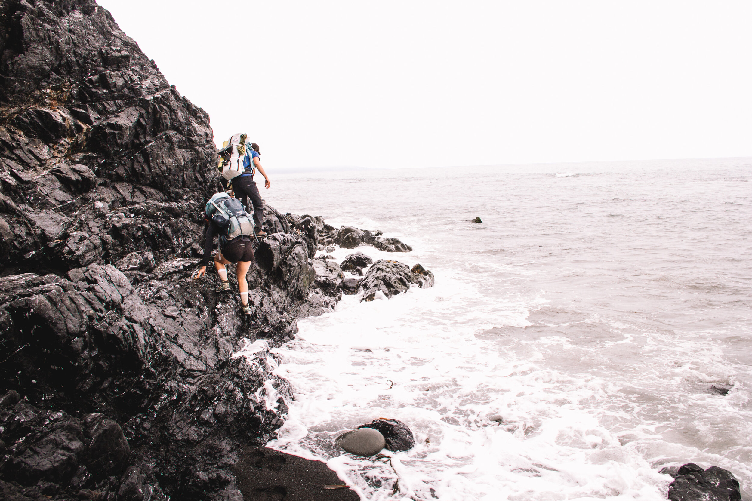
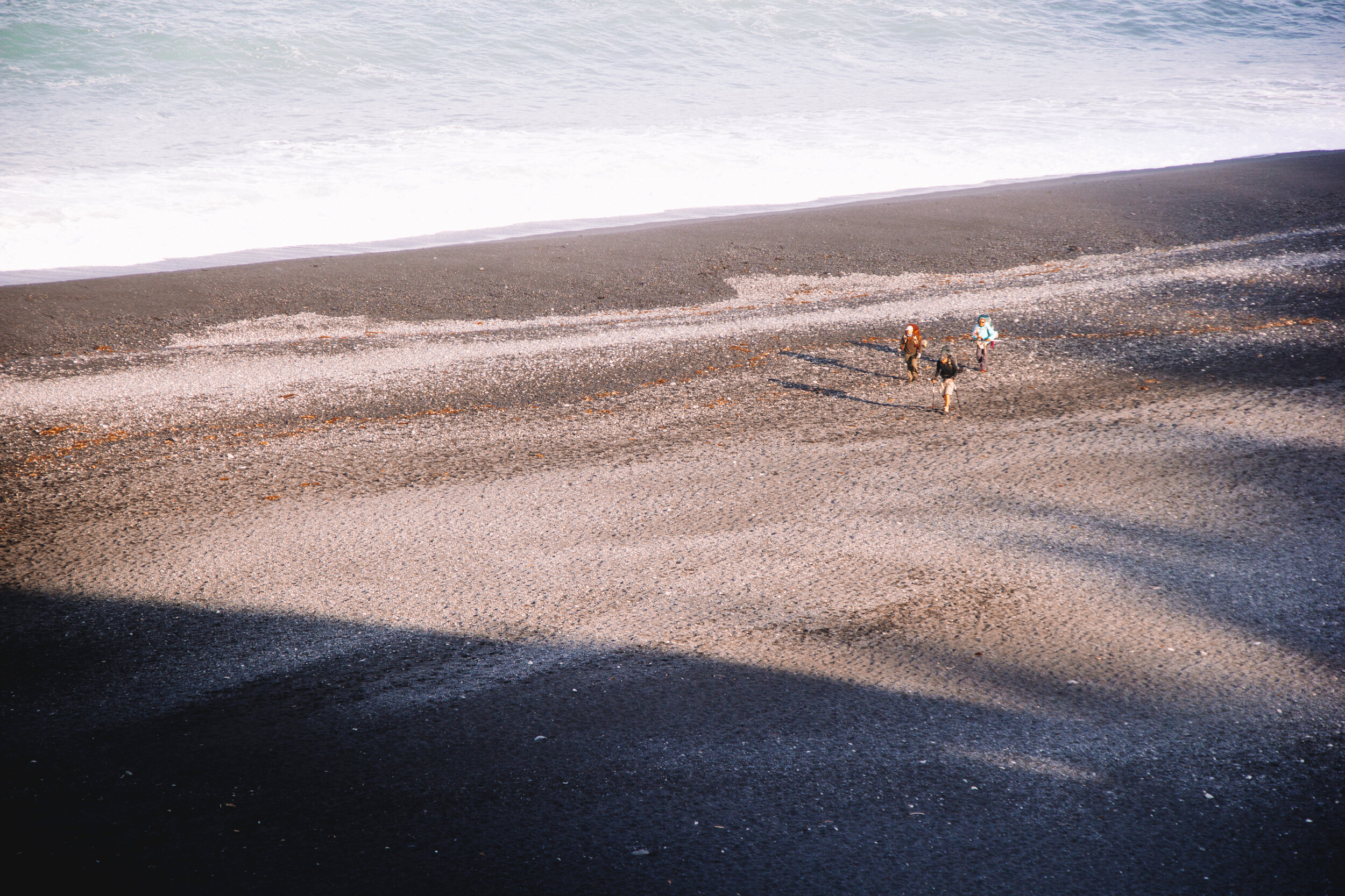
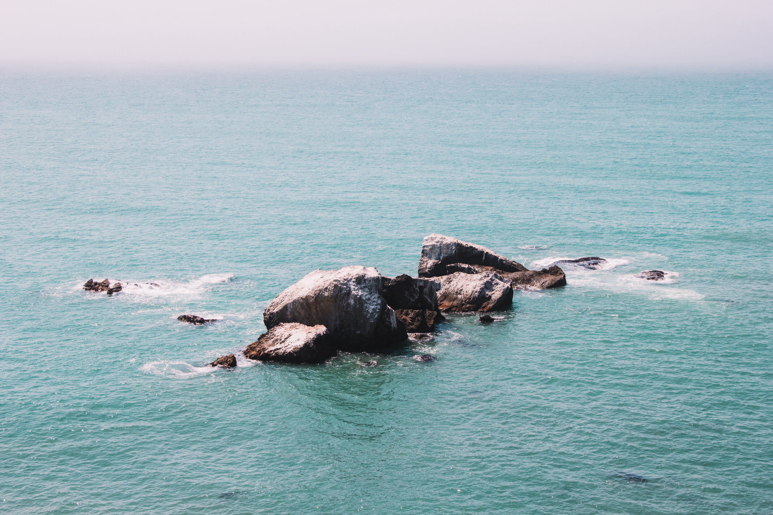
The next landmark after Punta Gorda Lighthouse is Sea Lion Gulch, and the two mile stretch of trail past Sea Lion Gulch is impassable at high tide. With the tide coming in, we didn’t think we’d be able to complete that portion of the hike without getting stuck in the water so in an unusual change of pace for a backpacking trip, we pulled out our thermarests and took a nap in sun. We watched confusedly as a couple other hikers passed us, hiking on despite the rising tide, but we ourselves didn’t want to risk getting caught between the ocean and rocky cliffs.


Our Lost Coast Trail Itinerary
Day 1: Mattole Campground to Spanish Creek
Mattole Campground to Spanish Creek, stopping past Punta Gorda Lighthouse for lunch. Hiking length: ~9 miles.
Day 2: Spanish Creek to GITCHELL CREEK
Spanish Creek to Gitchell Creek, stopping along Big Flats for lunch. Hiking length: ~11 miles.
Day 3: GITCHELL CREEK to Black Sands Beach
Gitchell Creek to Black Sands Beach, no lunch stop. Hiking length: ~4.2 miles.
After 3 hours, when we knew the tide was heading back out and we had slightly exhausted ourselves in the sun, we set out to cover the two miles of trail towards Randall Creek. As we arrived to the busy campground we saw two of the hikers that passed us back at Sea Lion Gulch. They were drying their pants out on some rocks. Turns out they didn’t beat the tides and for the last half mile were hiking in knee deep water.
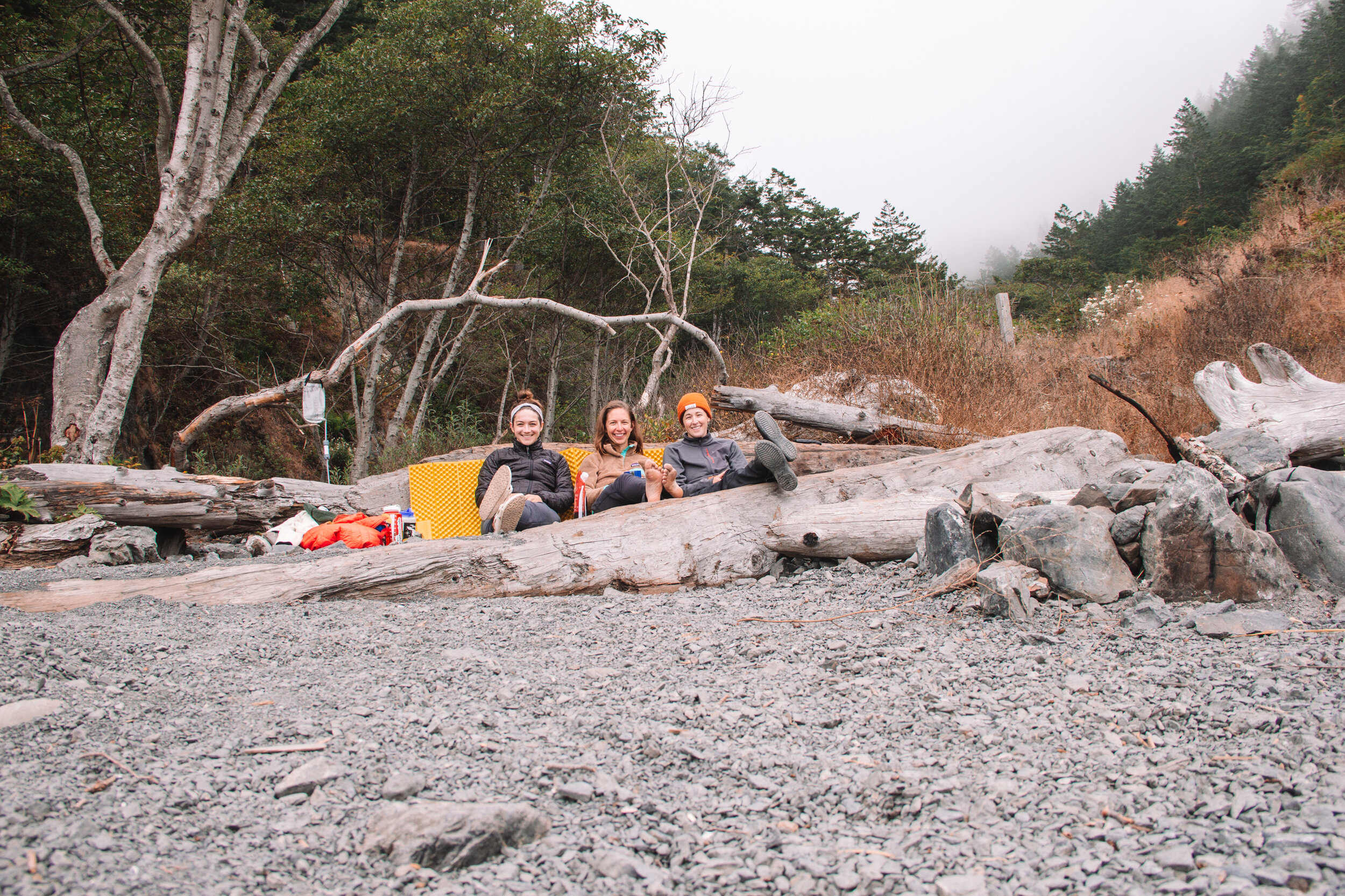
It was well into the golden hour, but when we overheard someone say, “Oh a group of girl hikers!” as we walked up to Randall Creek to fill up our water bottles, we decided to keep walking to the next camping area. We didn’t drive over 4 hours, then take a 2 hour bus, hike 6 miles, and plan months ahead for a permit to be surrounded by people, or more specifically, a group of twenty something men looking to meet some “girl hikers”. We were looking for a place to enjoy some girl time, and found just that at Spanish Creek. There, we had the full site to ourselves save for the surrounding wildlife.
Setting our tents up in the dark, we then focused our attention on dinner: Annie’s Deluxe Mac & Cheese with extra cheese. Each attending to our various tasks, I noticed shadows out of the corner of my eye, but each time I turned to look with my head lamp, the shadows would scurry away. Feeling slightly ridiculous, I did a quick snap of the head and saw that the little shadows were not my imagination, but a dozen field mice, all inching out from under the river rocks converging on the cubed cheese while under the shield of darkness. Each time they saw the light coming near them, however, they scurried back to cover. From that moment on, I kept my head lamp fixed on the cheese.

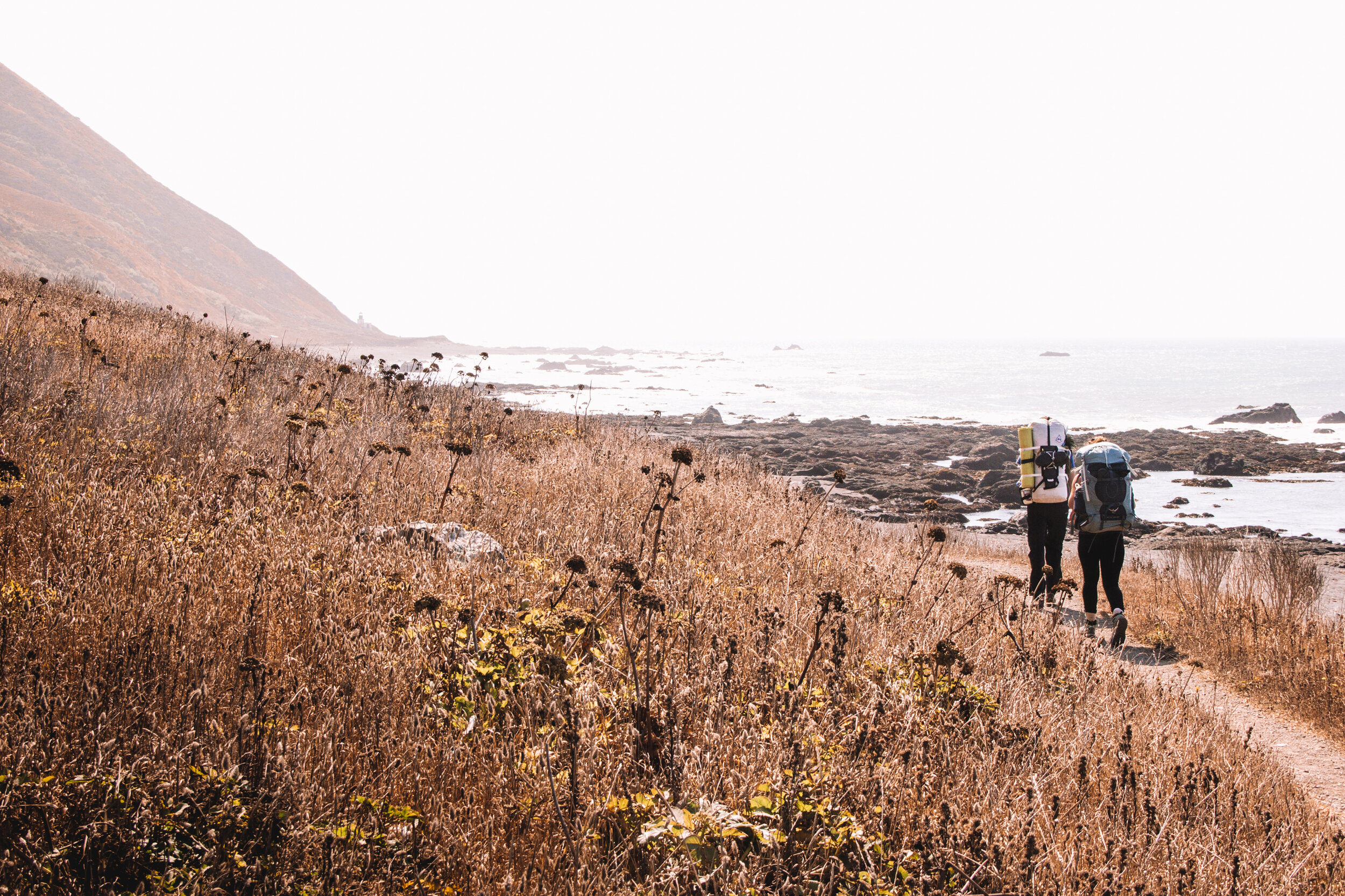
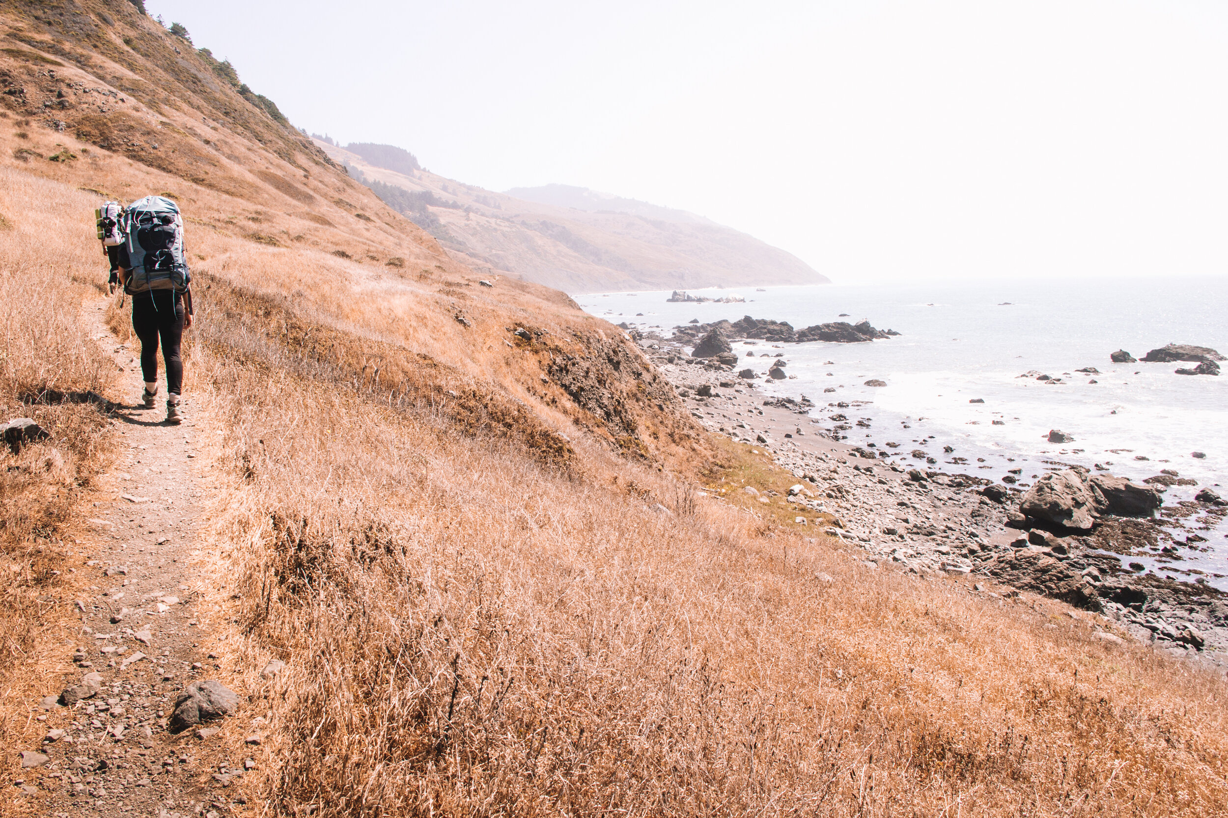
Day 2: Spanish Creek to Gitchell Creek | ~11 mi.
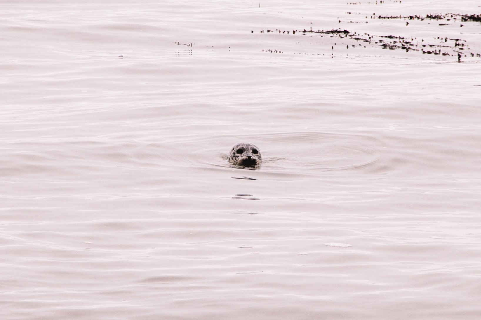
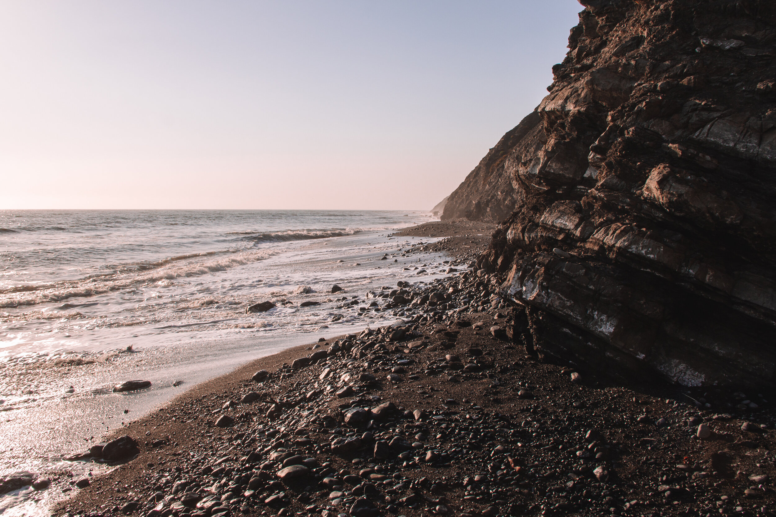
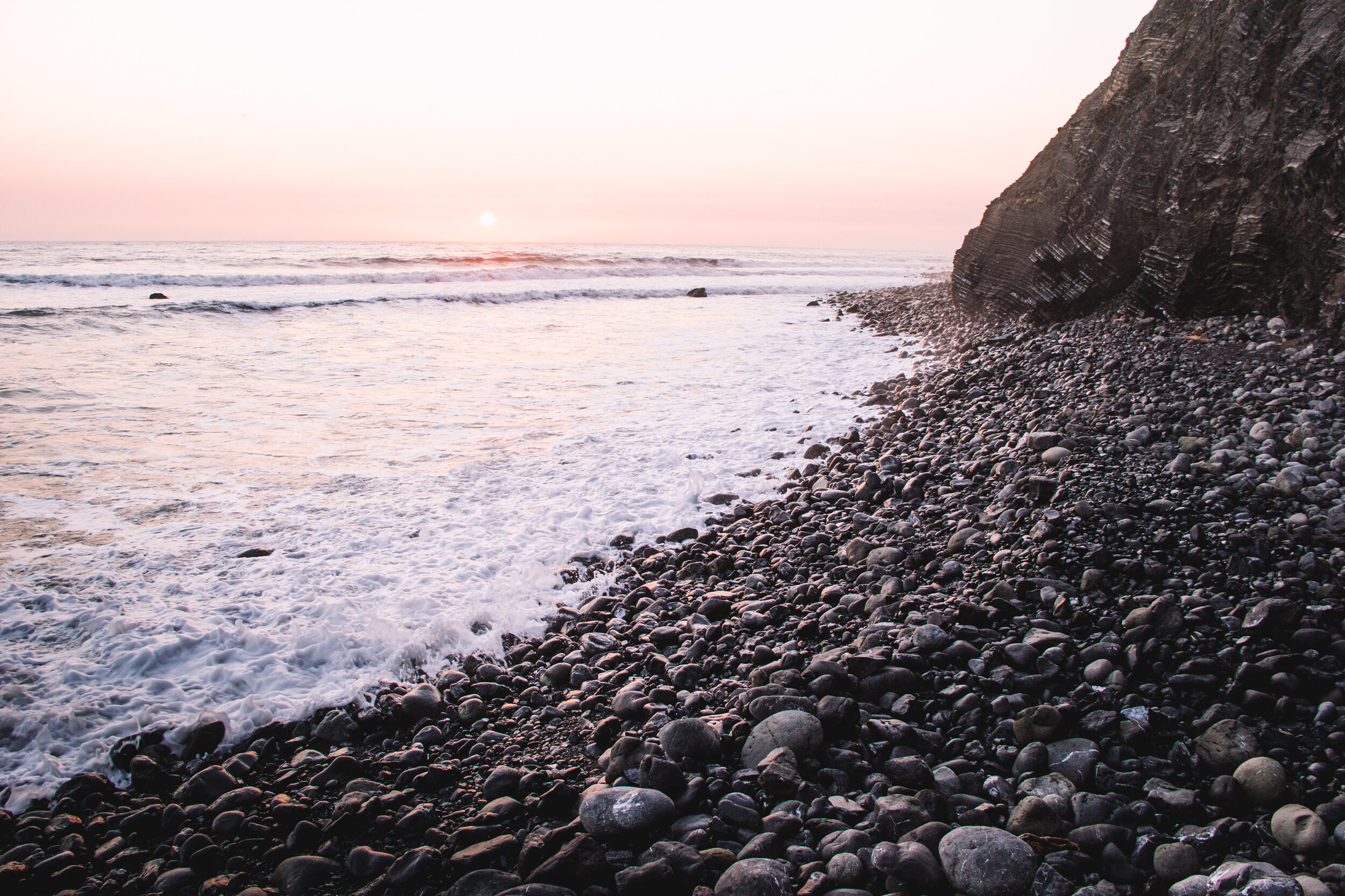
The next morning we woke up to fog and mist and rolled up our damp sleeping bags and tents. Before heading out, I had to take care of some “business”, which is done by digging a hole in the wet sand so that it will be washed away with next tide (you pack out your toilet paper). As I vulnerably squatted on tiny black stones looking out into the smooth, gray, early morning ocean, a harbor seal’s head popped up just off the shore. With puppy dog eyes, it kindly stared at me, as if waiting for something. Feeling a bit awkward with the audience, I debated how to proceed, but the seal’s eyes stayed locked on mine. Eager to not be bare ass on the beach, I did my business and as soon as I pulled my pants up, my new friend ducked back under the water.
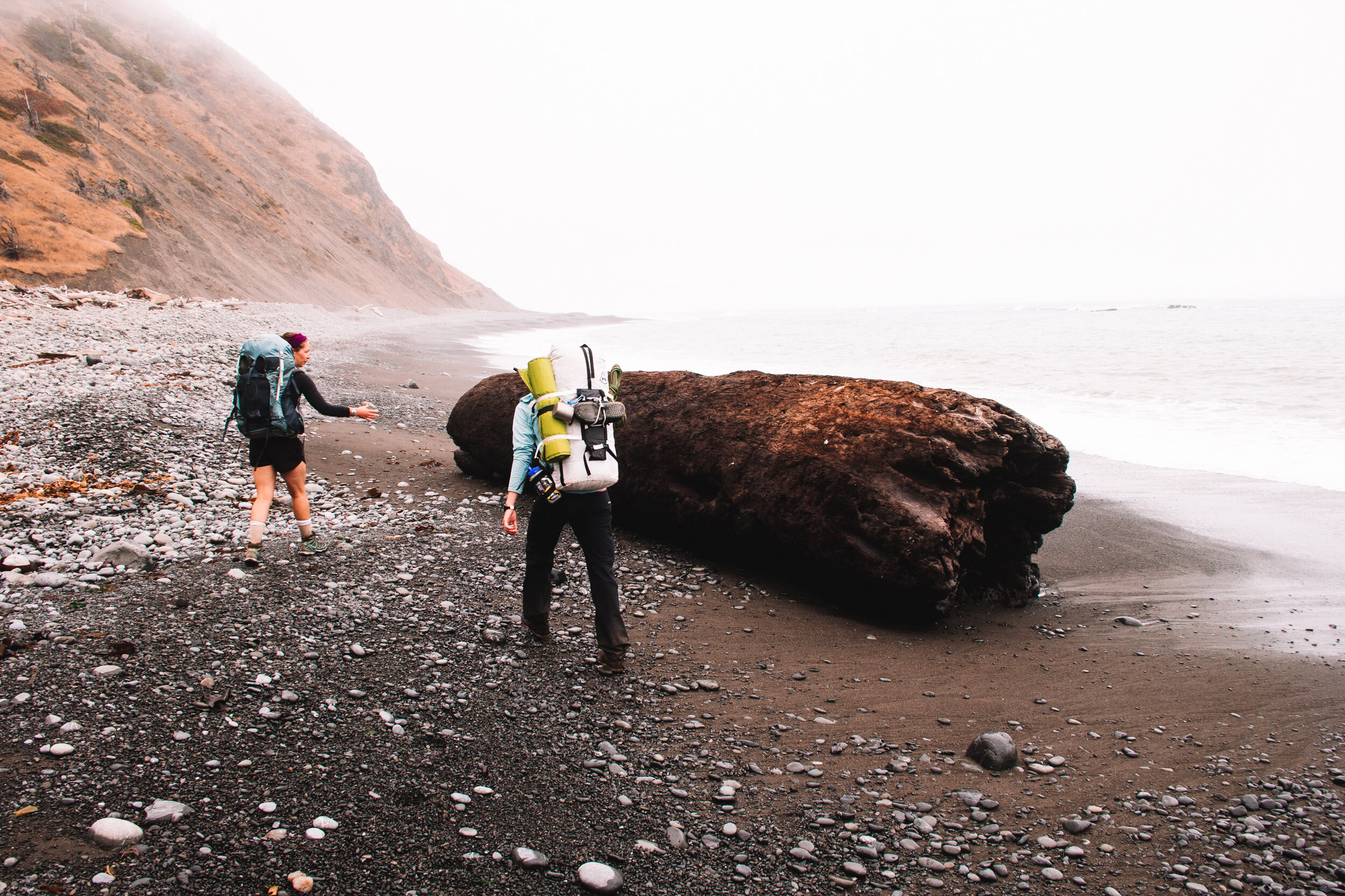
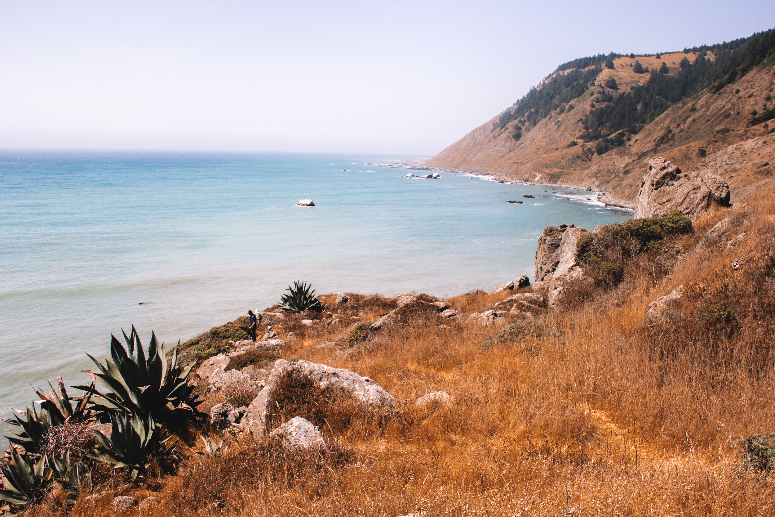
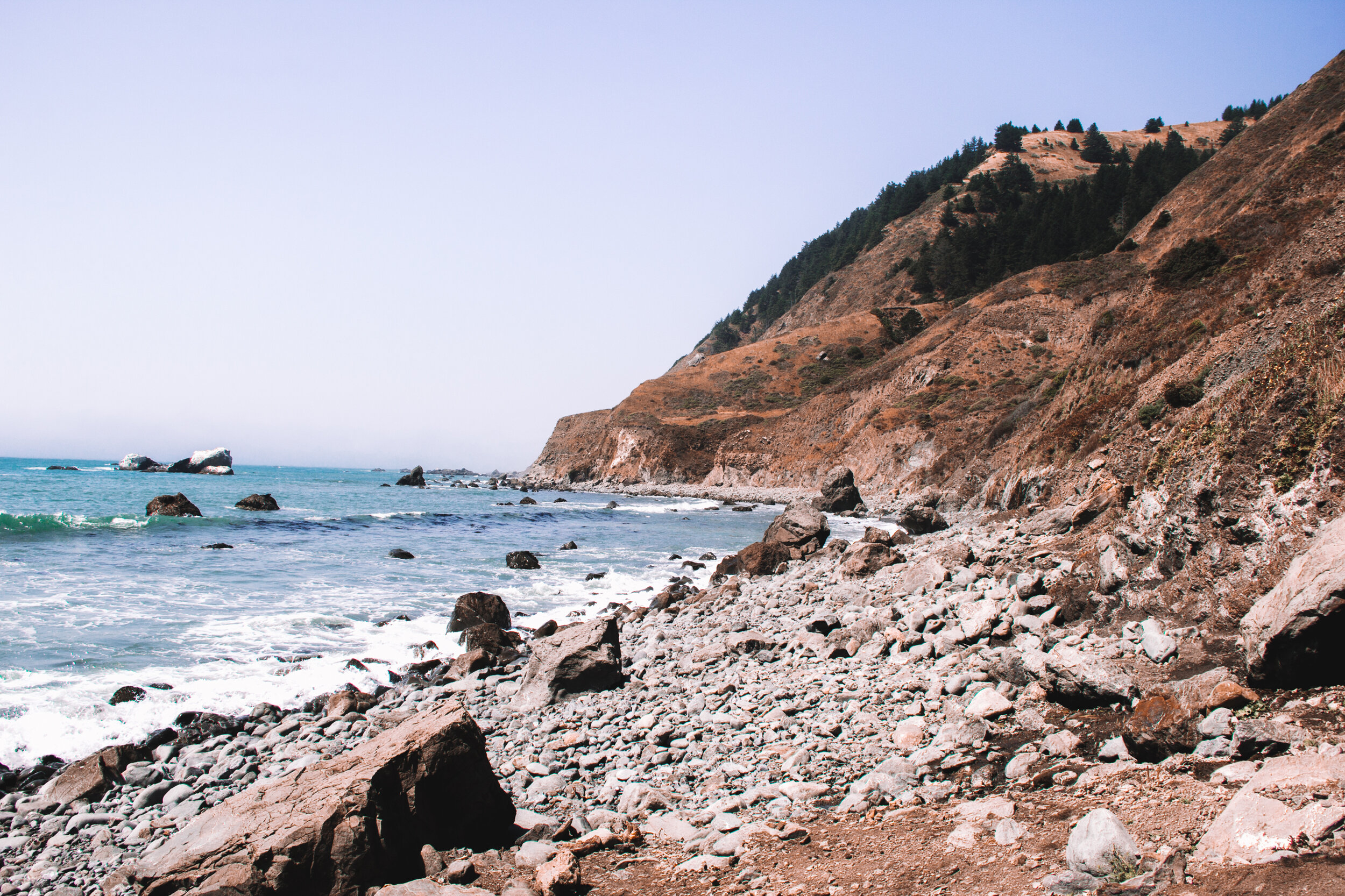
Despite our second day being our longest mileage day, we cruised along thanks to Big Flat. Our legs loved how the flat earth pushed back with each step instead of letting us sink in like the sand, or wobbling our ankles like the layered pebbles. We stopped for lunch further along the trail than we expected at the end of Big Flat, before continuing on to Gitchell Creek to camp for the night.
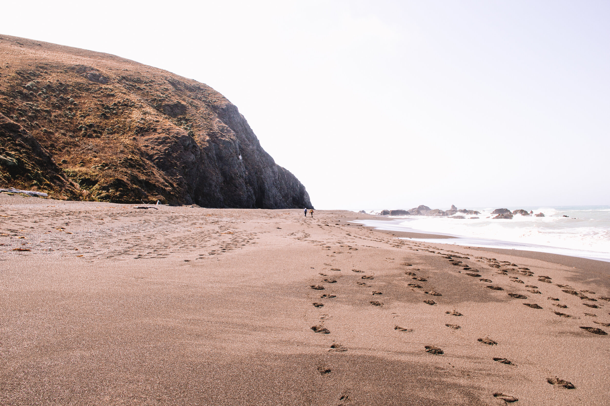
Day 3: Gitchell Creek to Black Sands Beach | ~4.2 mi.
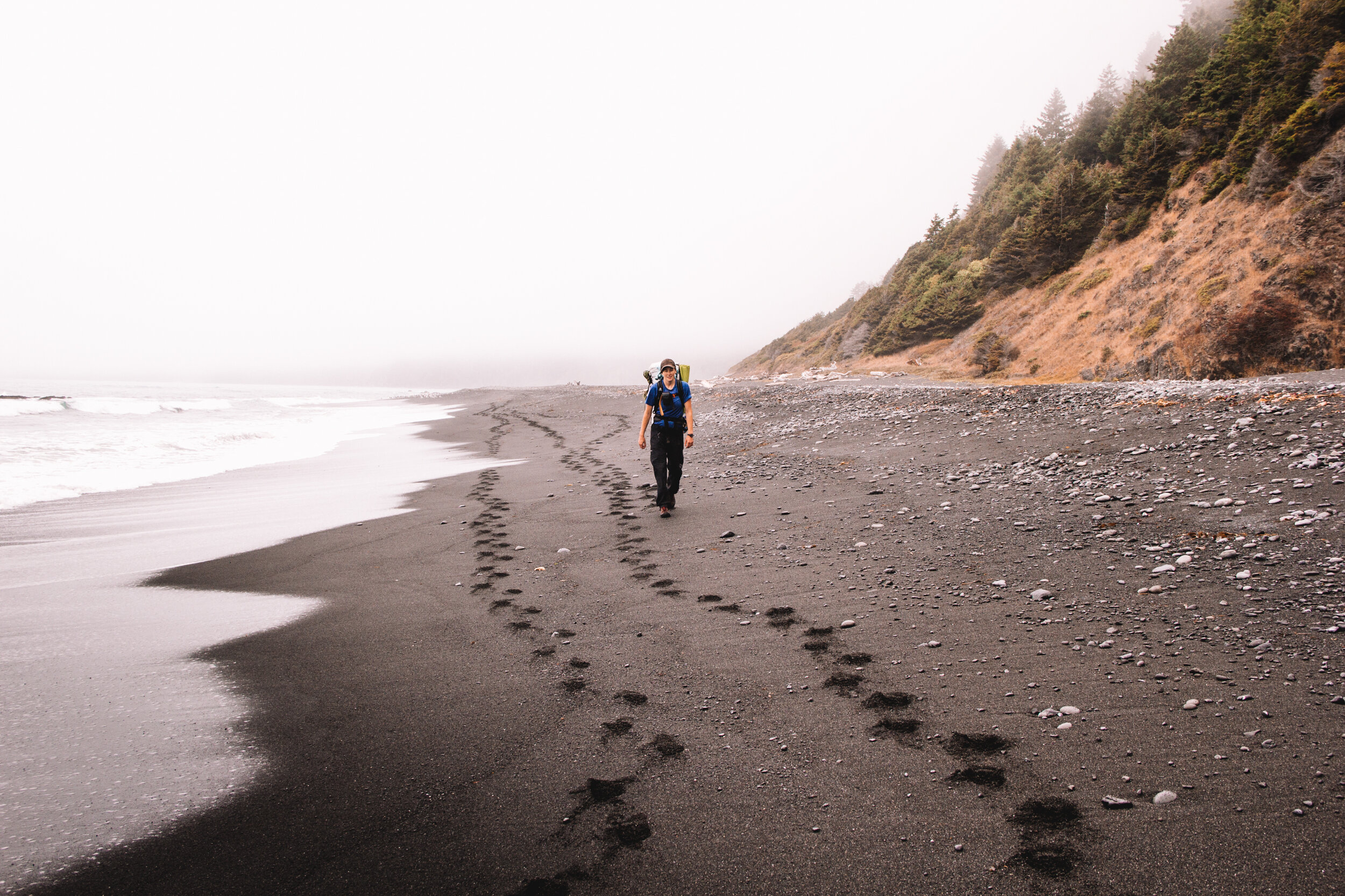
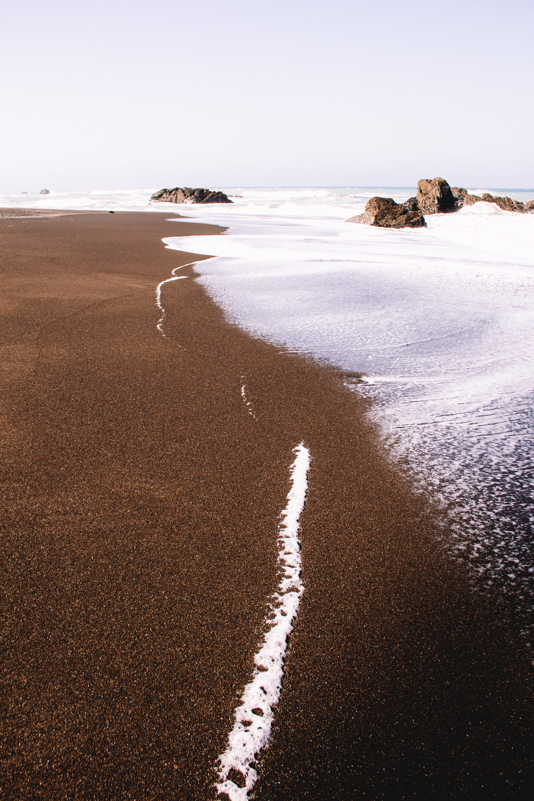
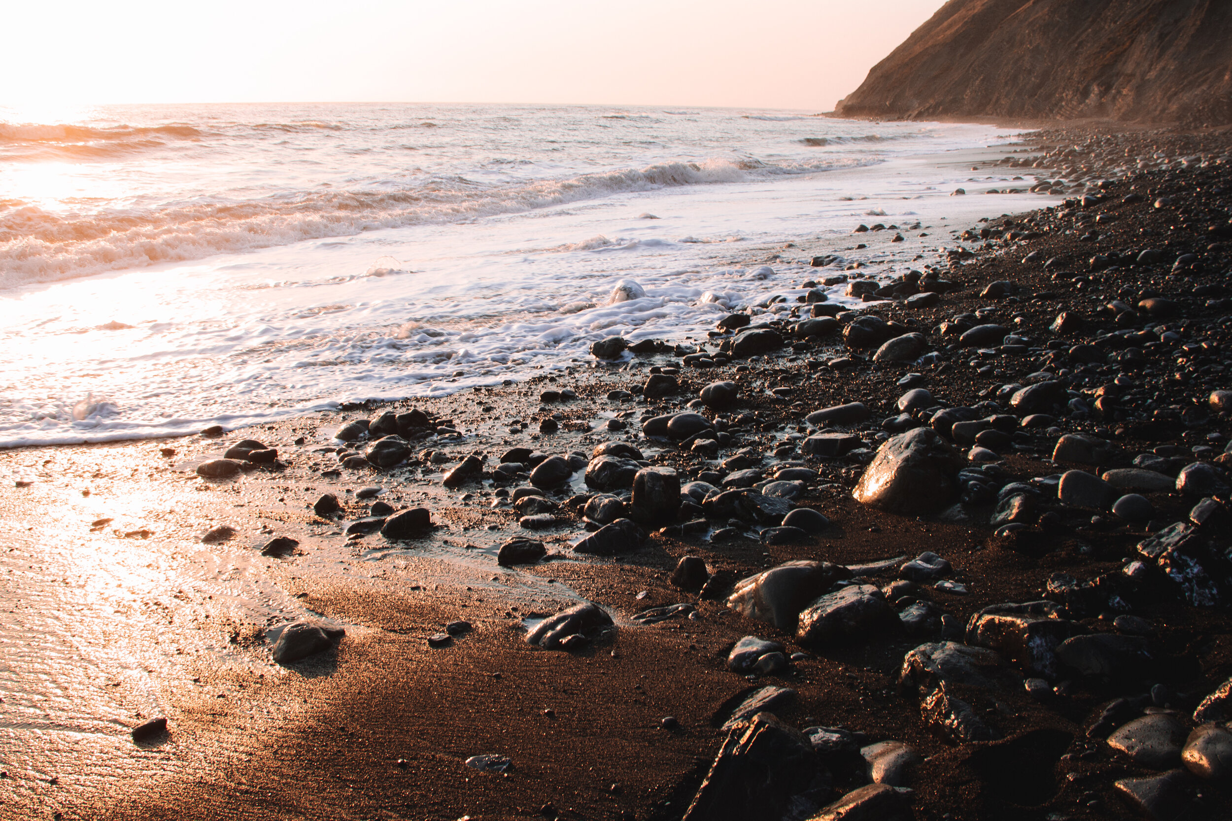
Day three was our shortest mileage day, but the hardest for me mentally. After logging around 20 miles in two days along terrain varying from soft, wet sand to slippery, smooth pebbles, to packed, dry earth, my legs were beat. The last fourish miles to civilization were completely on wet sand so the speed we felt yesterday quickly evaporated. Each mile felt like two, and rock outcroppings created false summits for my exhausted brain. We’d round an outcrop, and I’d wish that the final long stretch of sand lay before us. It wasn’t until about 3 hours into our hike that I would see Shelter Cove in the distance.
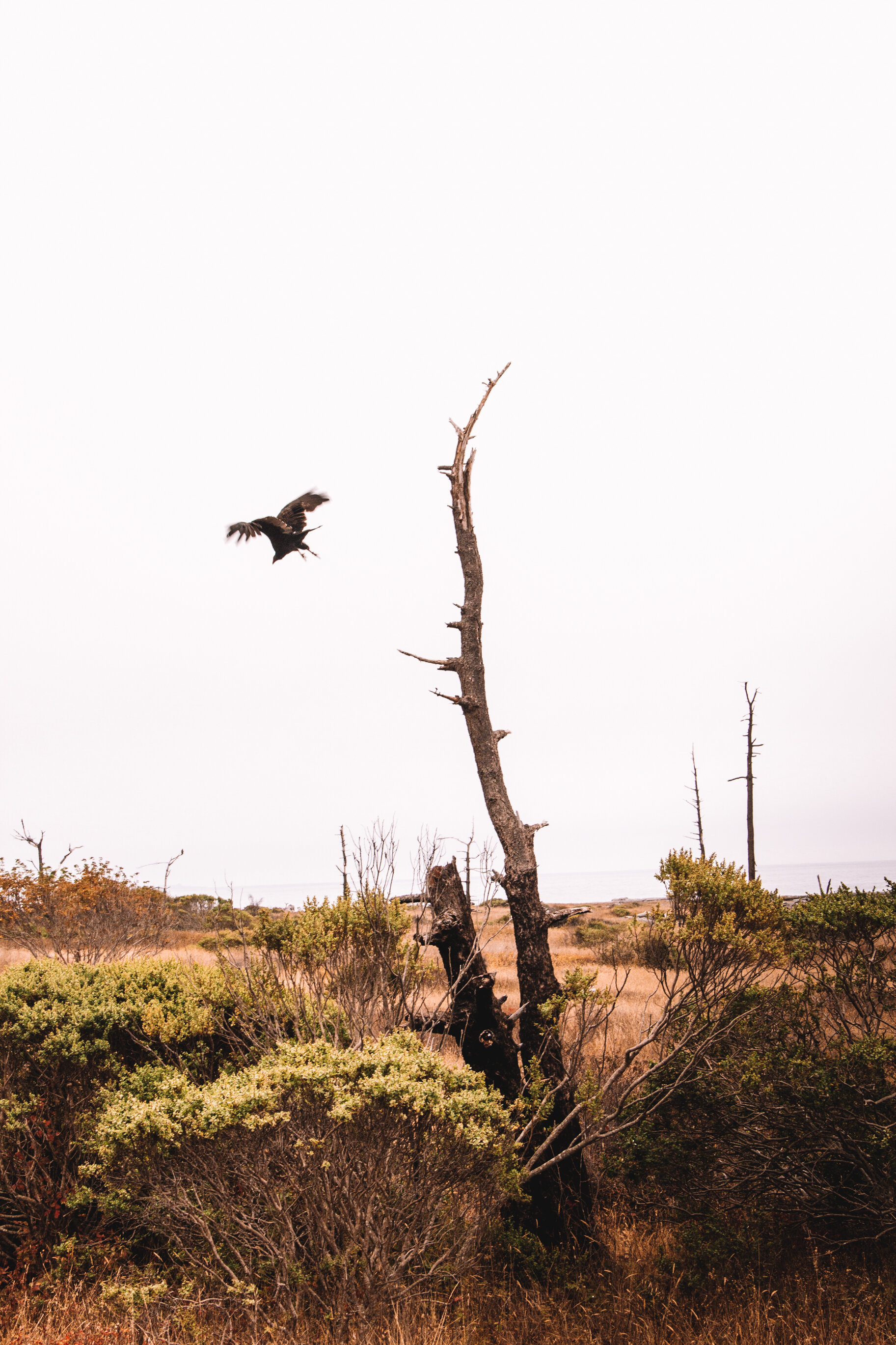
All in all, those four plus miles took us around four hours, well below our normal hiking speed of 2-2.5 miles per hour. However, it was beautiful, just like the two days before, and we saw raw wilderness that I’ve never experienced backpacking. A harbor seal journeyed with us for a half a mile. A young buck scrambled back up into the steep hillside upon our approach. A sea lion, emaciated from sickness or age, took its last breaths as we passed. Seagull skeletons, eerily smooth ocean waves, and endless black sand sent us a not so subtle message. Mother nature is in charge. Everything lives and dies, the tides come and go, and wilderness is wild. There are some places that can’t be tamed, and the Lost Coast Trail is one of them.

Planning Your Own Lost Coast Trail Adventure
When to Go
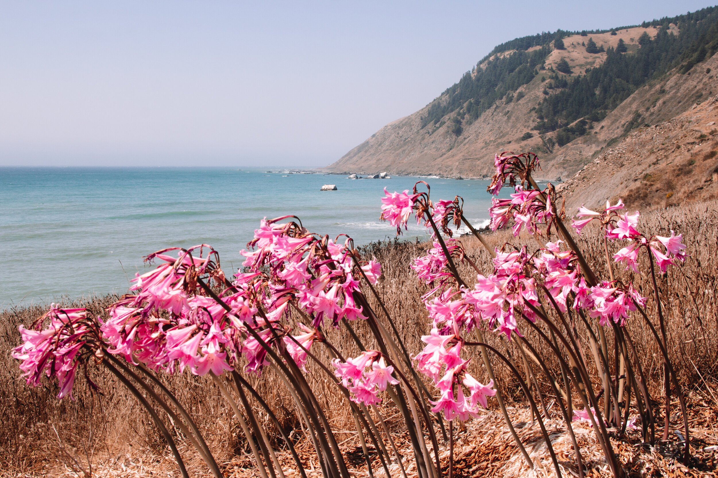
While you can hike the trail year round, May 15 - September 15 has the best weather. May will be wetter, but you’ll have more wildflowers. From September 16 - May 14, only 30 people are allowed per day versus 60 people per day during the warmer months.
How to Book Your Permits
In order to hike the Lost Coast Trail, you’ll need to reserve permits in advance for the King Range Wilderness via the www.recreation.gov website. There is only a $6 reservation fee to book your permits. All permits for the following year are released on October 1st, so mark your calendars if you’d like to hike the trail on a holiday weekend. Permits are issued on a first come, first serve basis.
What to Pack
Standard backpacking gear
Backpack
Sleeping pad
Sleeping bag
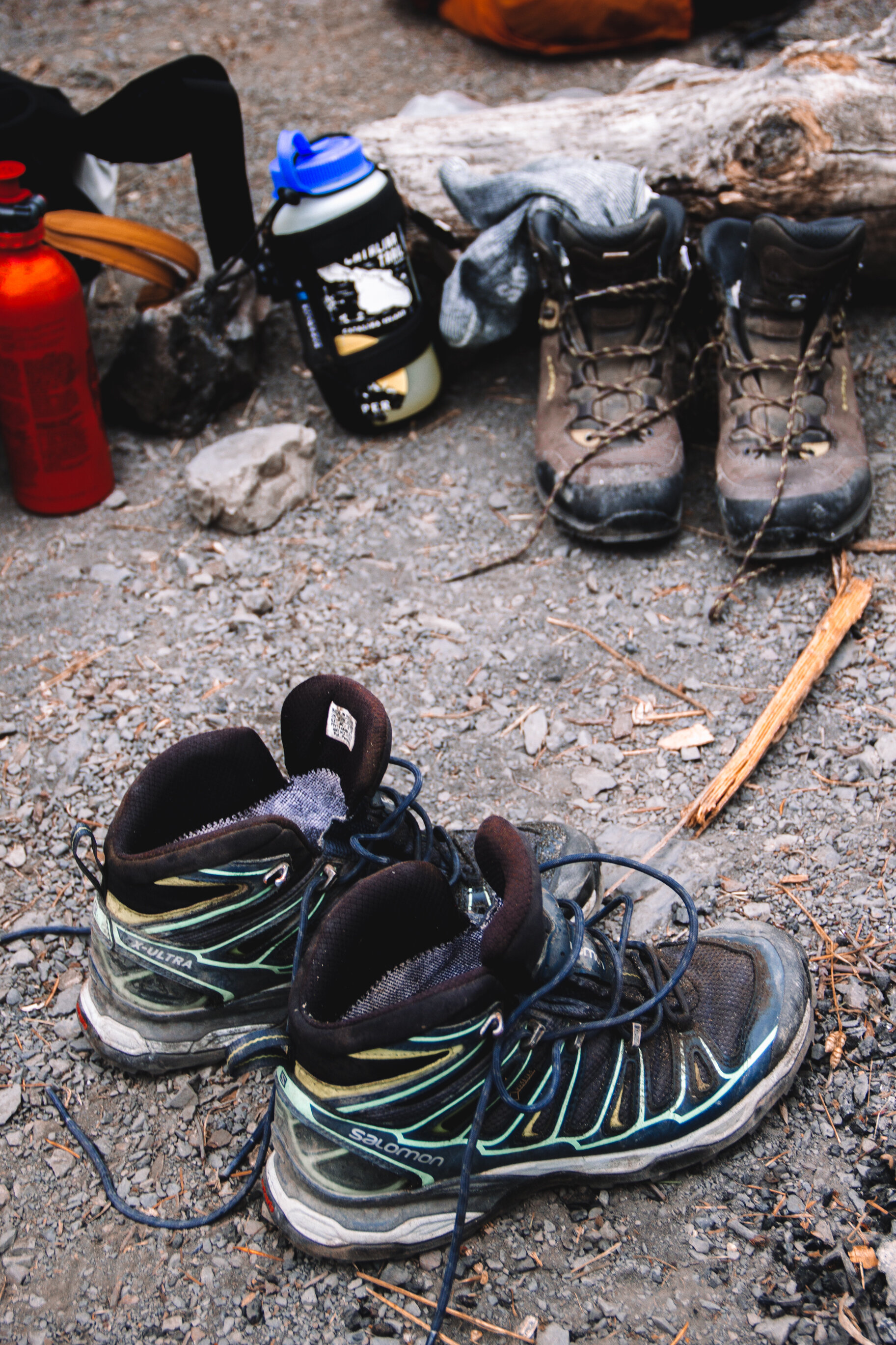
Waterproof hiking boots
Backpacking stove
One pot for cooking
Water bottles
Water purification system
Lightweight mug/cup
Utensils
Headlamp
Sunglasses
Camp shoes (so your feet can take a break from potentially wet hiking boots)
Layers | It’s hard to predict the weather on the trail, so we suggest packing quick-dry or wool layers
1 pair of shorts
1 to 2 pair of pants
1 to 3 T-shirts
1 long sleeve wool shirt
1 jacket or fleece
1 set of pajamas
3 pairs of hiking socks (so that you have a dry pair for each day)
Underwear (your comfort level with cleanliness determines how many pairs you should pack)
Wool hat
Sun hat/baseball cap
Rain gear | It can get misty on the trail, and the last thing you want to be while in the back country is wet and cold, so don’t forget your rain gear.
Rain pants
Rain jacket
Bear canister | All hikers are required to put all food in bear cans. For our group of 3, we brought 2 bear cans.
Camera | You’ll want to capture this gorgeous coast on film.